Cabinet endorses new political map that includes all territories that Nepal claims

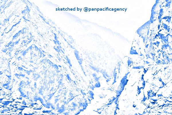
Road in the mountains of the Himalayas. Inauguration by New Delhi of this road in Nepal’s western frontier has sparked a fresh row. RSS. Sketched by the Pan Pacific Agency.
KATHMANDU, May 19, 2020, The Kathmandu Post. The government has endorsed an updated political map of Nepal that includes contested lands on the northwestern edge of the country, up to Limpiyadhura, The Kathmandu Post reported.
Minister for Land Management Padma Aryal had tabled the updated political map at Monday’s Cabinet meeting. The map was subsequently endorsed.
“Today’s Cabinet meeting endorsed the updated map of Nepal proposed by the Ministry of Land Management,” said Yubaraj Khatiwada, the government spokesperson, at a press briefing following the Cabinet meeting. “The new map includes Limpiyadhura, Lipulekh and Kalapani.”
Khatiwada, who is also the finance and communication minister, said that the updated map of the country will be used everywhere, including on textbooks, the government’s seal, and for all administrative works.
The new map will likely be made public on Tuesday, said a member of Minister Aryal’s secretariat.
The endorsement of the new political map follows India’s inauguration of a road link via Lipulekh, a territory that Nepal has long claimed as its own.
“The government had been tolerating [the Indian encroachment] until India’s defence minister Rajnath Singh inaugurated the new road,” a minister told the Post on condition of anonymity. “We thought India was taking our calls for talks seriously but we felt nervous after the Indian Army chief made a controversial statement and decided to issue the new map.”
President Bidya Devi Bhandari, while announcing the government’s policies and programmes for the upcoming fiscal year on Friday, had said that a new political map would soon be issued.
At Sunday’s Cabinet meeting, Prime Minister KP Sharma Oli had expressed serious reservations over a statement made on Friday by Indian Army Chief MM Naravane who had said Nepal’s objections to India laying the link road were “at the behest of someone else”.
Many in Kathmandu believe that he was alluding to China.
Neither the Nepal Army nor the government has responded yet to Naravane.
The Oli government was under pressure from members of the public and leaders of the ruling as well as opposition parties to publish a new political map of Nepal after India on May 8 announced that it had inaugurated a road link via Lipulekh.
But there had been calls for a new Nepal map six months ago too, when India had included Kalapani, which Nepal also claims as its own, within its borders on its own new political map.
The disputed territories of Kalapani, Lipulekh and Limpiyadhura have remained a permanent irritant in Nepal-India relations, but the issue emerges periodically when India conducts activities on the disputed lands.
The source of the dispute can largely be distilled down to the source of the Mahakali river, say analysts. While Nepal says the river originates at Limpiyadhura, near Lipulekh, and flows southwest, India says that the river originates in Kalapani and flows south and slightly east.
According to the 1816 Treaty of Sugauli signed between Nepal and British India, the Mahakali river marks the boundary between Nepal and India—east of the river is Nepal and west is India.
Nepali politicians have long said that historical evidence shows that the disputed territories are within Nepal’s borders, but successive governments have failed to hold talks in earnest with India regarding the lands. Statements are issued only when India makes a move and public anger erupts.
This time too, after India announced the inauguration of a road link via Lipulekh on May 8, protests had erupted on the streets in Kathmandu. Lawmakers had demanded answers from the government in Parliament and parliamentary committees had summoned ministers.
On May 10, Foreign Minister Pradeep Gyawali told the House that the government was well aware of India building the road for the last 12 years. A day later, he told the International Relations Committee of Parliament that Nepal can’t wait for the Covid-19 crisis to be over to hold talks with India, and that the government would hold talks with Beijing as well.
But at a May 12 Cabinet meeting, Prime Minister Oli said that he had no idea about the construction of the road and complained that no one had apprised him, earning more criticism.
Earlier on May 9, a day after India announced the road, the Ministry of Foreign Affairs had issued a statement, objecting to the opening of the road link.
On May 11, the ministry had even handed a diplomatic note to Indian Ambassador Vinay Kumar Kwatra.
India had replied that it is willing to hold talks once the Covid-19 pandemic is over but refused to acknowledge the diplomatic note. On May 15, Indian Army chief Naravane only added fuel.