‘Nepal has politicised boundary issues’: New Delhi dismisses Kathmandu’s claims on Indian territory
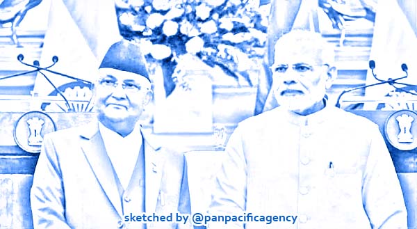
Prime Minister Narendra Modi with Nepalese counterpart KP Sharma Oli with (DNA India). Sketched by the Pan Pacific Agency.
NEW DELHI, Jun 14, 2020, DNA India. The Indian government has said that Nepal has politicised the boundary issue in the backdrop of the lower house of the Nepali parliament passing the Constitutional Amendment Bill revising the Coat of Arms with the new Nepal map, DNA India reported.
The new Nepal map issued by the Nepali government shows Indian territories of Lipulekh, Kalapani, Limpiyadhura as its own.
Sources in the Indian govt said, the actions by the Nepali govt “do not reflect any seriousness” on part of the Nepalese government to resolve the issue via dialogue but are “myopic and self-serving to further a limited political agenda.”
While reiterating that New Delhi has always stressed on the “resolution of the boundary issue through diplomatic dialogue” sources pointed India responded positively to the Nepalese side and conveyed its willingness to hold the talks in a “conducive environment and at a mutually convenient date” and reaffirmed commitment for the talk when “Nepal objected to the inauguration of Kailash Mansarovar road by the Government of India.”
Highlighting the haste in the passage of the constitutional amendment that now goes to the upper house of the Nepali Parliament, government sources said Nepal has no historical facts or evidence to back its claim.
The MEA was quick to react on the developments in the Nepali parliament saying, “This artificial enlargement of claims is not based on historical facts or evidence and is not tenable. It is also violative of our current understanding to hold talks on outstanding boundary issues.”
Referring to the 1815 treaty of Sugauli between the British Raj and the then Royal govt in Nepal that, sources said Nepal renounced all claims to territories lying west of the Kali river under Article V of the treaty. Treaty of Sugauli defined the current borders of Nepal and according to it Nepal’s border with India in the east runs according to the flow of river Kali.
While in 1817, Nepal made claim to the area and demanded the return of Tinkar, Chhangru, Nabhi, and Kuthi villages, the first 2 were returned since they were east of the Kali river. As for Nabhi and Kuthi, the then Governor-General of India had rejected Nepal’s claim on it.
Nepal has been claiming its right on Indian territories on the basis of Kuthi Yankti and Lipugadh streams which flow into river Kali. Indian sources said it is incompatible with the Treaty of Sugauli and the 1817 decision of Governor-General of India, elaborating that when it comes to the source of the Kali river, which is one of the causes of the current dispute was also settled during that judgment by the Governor-General.
Sources explained that current claims of the Nepali govt are contrary to its own boundary treaty & protocols signed with China.
India, Nepal boundary issue was discussed at Joint Working Group level in 1997 and 1998 and In 2014 Foreign Secretaries for both the countries were mandated to work on the issues of Kalapani and Narsahi-Sustaand with technical inputs from Boundary Working Group as and when required.
The map row broke after India’s defense minister inaugurated a road till Lipulekh which Nepal says is its own territory. It was followed by Nepal FM Pradeep Kumar Gyawali meeting Indian envoy to Nepal Vinay Mohan Kwatra and Nepali Foreign Ministery and ruling party Nepal Communist Party issued a strongly worded release protesting the new road built by India that will reduce the time for Indian pilgrims to go for Mansarovar Yatra in Tibet, China. It was followed by a strong protest by India who reminded Kathmandu that it is Indian territory.